


Satellite Data for Government: Uses, Specs & Providers
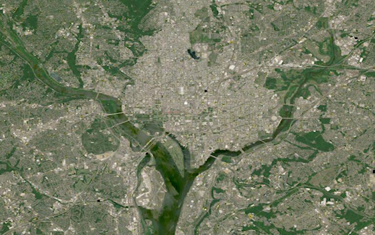
Land records and permits can cover an entire jurisdiction, while field crews can only inspect so much ground each day. That is where a useful summary Satellite Data for Government: Uses, Specs & Providers becomes useful. Instead of relying only on reports or occasional site visits, governments can repeatedly observe what is happening across an area and turn visible change into evidence.
Satellite imagery can support many everyday tasks: monitoring construction, checking land-use changes, tracking infrastructure, assessing agricultural activity, and identifying areas that may need an inspection. When imagery is collected regularly, officials can compare dates and spot changes that might otherwise go unnoticed.
The right specifications depend on the job. Spatial resolution determines how much detail an image shows, while revisit frequency matters when changes need to be detected quickly. Spectral bands can also provide information beyond ordinary color imagery, helping identify vegetation, water, or other surface characteristics.
Providers range from large commercial satellite companies to public programs offering open imagery. Government teams typically choose based on coverage, resolution, update frequency, historical archives, licensing, and how easily the data can fit into existing GIS workflows.
The important point is not replacing field crews. It is helping them work smarter. Satellite data can highlight where something has changed, so people can spend their limited time investigating the places where it matters most.

 English
 Arabic
 Spanish
 Portuguese
 Deutsch
 Turkish
 Dutch
Dutch
 Italiano
 Russian
 Romaian
 Portuguese (Brazil)
 Greek
Greek